SEVERE WEATHER ALERT!
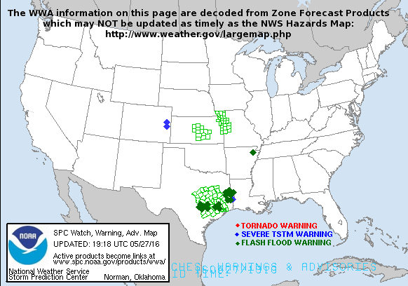
A frontal boundary has become stationary over the area and will reamin for the next several days. At first the contrasts between the warm and cooler air will be a focus for seveer storms today. The biggest threat will be high winds and hail. Isolated tornadoes will also be possible!
FLOODING RAINS Likely for Some
The stalled front responsible for strong to severe storms will also help squeeze out abundant moisture. Flooding seems very probable for parts of the region where areas could top 6 inches of rain between now and early next week!
Please stay tuned to Radio and News outlets for watches or warnings.
Also visit http://www.midatlanticweather.com for the weather information you need in the Mid Atlantic!


No comments:
Post a Comment