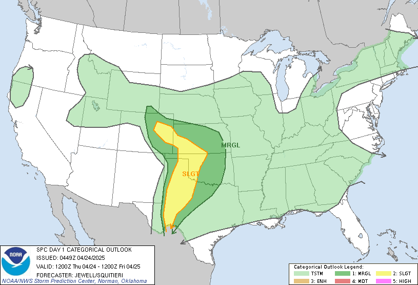
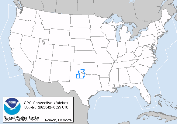
The storms will really hit the area more overnight and into Monday morning. Please stay alert for watches and warnings that could come up as soon as this afternoon to the west.
All for now!
|
|||||||||||||||
|
|
First off, this season has been so surprising. Tonight's storm will drop (in my back yard) nearly 6" or possibly more! This is a 40"+ season already, and we are heading for a lot more. Tonight's snows will have dumped 3 to 5 inches in a lot of Northwest Vorginia and 2 to 4" in the northern half of Virgina and Marland is receiving 2 to 4 inches! Heavy snow fell here for about 3 hours!
Friday into Saturday looks great for a snow lover like me! Snow amounts in the northern part of Virginia, Central and Western Maryland, and on up into New Jersey could see totals approach 20 inches. This is especially true west of I-95. South and east of a Charlottesville, Dulles, Baltimore line will very likely see a mix of sleet and even rain further east. This will then all end as snow for most places.
This will be a very big storm.. heavy precipitation is also likely. People under a lot of snow that end up with rain may see some flooding rains! If you have a lot of snow, please be certain you have cleared drains so that run off does not back up against your house. Coastal flooding also looks likely in this one due to the duration.
When will this thing arrive. It will start Friday - mid to late day and overspread the region. This has shown some speed fluctuation so we will have to see what comes of this!
I am not trying to over worry folks, but another storm looks possible next week, and, this one could affect us mid week. This will be something to watch and could be big. After this I am seeing the possibility of a serious cold set up for a bit!
What a winter! ALL for now!
I would not stray too far from my map for Virginia that I have up on Mid Atlantic Weather. This looks like a Historic event. Snow will start in the evening in the southwest and overspread the southern third of Virginia and the northern half of North carolina. I may say a 1 to 3 inch increase in higher amount locations could occur as the ratios of snow per liquid equivalent will be high! That is rare for that part of the country. Snow will gradually progress north but it seems unlilkely it will make it past the southern DC metro area. Around that area an inch may fall. A very cold day with temps region wide in the 20s tomorrow. North Carolina, South Carolina and Northeast Georgia could see Ice totals up to or over 1 inch. Snow will be cut down in total amounts for the southern half of the state with sleet and freezing rain a real issue down to the South Carolina border. This will be one for the rcord books. Some adjustments may come as the storm gets closer, but those in the warned areas should prepare!
This is a tough forecast. I am inclined to be less enthusiastic about snow chances and more sleet and rain. I think along I-95 north of Fredericksburg up to Baltimore and west about 25 miles a general coating, to as much as 2 inches of slop (western border of that area) will occur. The I-15 area north of Charlottesville up in to Maryland could see 2 to 4 inches and areas of higher elevation along I-81 west of Charlottesville up into western Maryland could see totals of 3 to 5 inches. A slight change in storm dynamics and location could up totals by 1 to 3 inches or drop them. This is not clear cut. Based on the time of year a more snowy picture may occur than what I think at this point. If significat changes occur in forecast model analysis I will update later today.
Beyond this event a serious rain threatens the area Sunday into Monday and flooding does seem possible.